

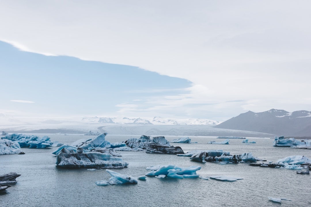
When it comes to Earth’s climate system, water is often at the center of the story — whether it’s too much, too little or arriving at the wrong time. And while today’s climate models can tell us how much rain might fall or how humid the air might be, they often can’t answer the simpler, and perhaps more important, question: Where did this water come from?
A new project led by Rice University and the U.S. National Science Foundation National Center for Atmospheric Research (NSF NCAR) is changing that. Backed by a grant from the National Science Foundation, the initiative — called SCI-SWIM, short for sustainable community infrastructure for stable water isotope modeling — will build a new and improved version of the Community Earth System Model (CESM), which can trace water across the entire planet from the clouds in the sky to the thick ice sheets deep underground.
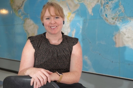
“This work is about expanding our scientific community’s ability to study the water cycle across space and time,” said Sylvia Dee, associate professor of Earth, environmental and planetary sciences at Rice and one of the project’s lead principal investigators. “Our project will help us understand water’s unique fingerprints as it moves through the climate system: We can understand not only how much rain is falling but also where that moisture came from and how it travels through Earth’s oceans, atmosphere or the land surface.”
Those fingerprints come in the form of stable water isotopes — tiny variations in water molecules that shift in predictable ways when water evaporates, condenses, freezes or melts. By following these subtle signals, climate scientists can tell whether a storm drew its moisture from the nearby ocean or from halfway across the globe. They can separate evaporation from plants versus soil, and they can compare their simulations directly to a growing network of real-world isotope measurements collected by satellites, research flights, weather towers and even ancient ice cores.
The approach isn’t entirely new. Earlier versions of CESM with isotope tracking helped researchers unlock mysteries of past climate events. But that older system was built on outdated software and couldn’t keep up with the rapid evolution of CESM. SCI-SWIM is a ground-up redesign that will permanently weave isotope tracking into the model, making it easier to maintain, easier to share and adaptable to advances in technology. The redesign uses a new atmosphere model code base, CAM-SIMA, which implements atmospheric physics schemes through the flexible and interoperable Common Community Physics Package.
The science it enables has the potential to touch some of climate research’s biggest questions. In the atmosphere, isotopes provide clues about how clouds form, processes that play a big role in how quickly Earth warms. Over land, isotopes can help diagnose why models often overestimate humidity in dry regions and can reveal how plants interact with their environment. In polar regions, isotope-enabled ice sheet simulations will offer new insights into how ice cores record climate history and how melting ice sheets may shape sea-level rise.

“Stable water isotopes are nature’s tracers,” said Jiang Zhu, project scientist at NSF NCAR and principal investigator of the project. “They give us a direct line of comparison between models and observations, from the rain falling outside your window today to the ice layers recording climate thousands of years ago.”
The project is designed with the broader community in mind. The team plans to roll out training modules for students, provide tutorials for young researchers and even partner with local schools in Houston to collect rainwater samples for isotope analysis.
“We want the next generation of scientists, including current K-12 students, to see how the water cycle is changing in their own backyards,” Dee said.
The project co-PIs include Peter Lauritzen and William Wieder at the NSF NCAR. By the end of the five-year effort, the team expects to have a production-ready, isotope-enabled CESM that anyone in the climate science community can use. The benefits could range from sharper forecasts of extreme weather to better reconstructions of Earth’s past climate and more reliable predictions of future risks.
“Climate risk is water risk,” Zhu said. “By following every drop of water — where it comes from, where it goes and how it changes along the way — we can give communities, policymakers and scientists the information they need to prepare for what’s ahead.”