
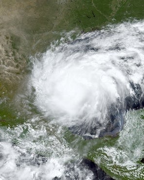
An interactive map developed by Rice University’s Center for Coastal Futures and Adaptive Resilience (CFAR) identifies the top 10 hazardous polluters that were in Hurricane Francine's path.
The map is accessible here. The data on major polluters come from the U.S. Environmental Protection Agency's 2022 Toxic Release Inventory. Darker blue dots indicate larger amounts of total annual hazardous releases on site (i.e., larger polluters); red dots indicate the top 10 largest polluters in Francine's zone of impact, measured in terms of the same total annual hazardous releases.
"For those living near big polluters in Francine's path, the real disaster may be just unfolding,” said CFAR co-director James Elliott , department chair and David W. Leebron Professor of Sociology.
“This newly-launched piece of the interactive map allows users to see where the storm raise concerns about the flooding of facilities hazardous to public health,” said CFAR co-director Dominic Boyer, a professor of anthropology at Rice.
To access the full mapping tool, which visualizes where major flood-prone polluters across the U.S. are located, click here. For more information on CFAR, visit https://cfar.rice.edu/.
For more information or to schedule an interview, contact Chris Stipes, executive director of news and media relations at Rice, at chris.stipes@rice.edu or Amy McCaig, senior media relations specialist at Rice, at amym@rice.edu.